|
Deuchar's Home Page Walks Index |
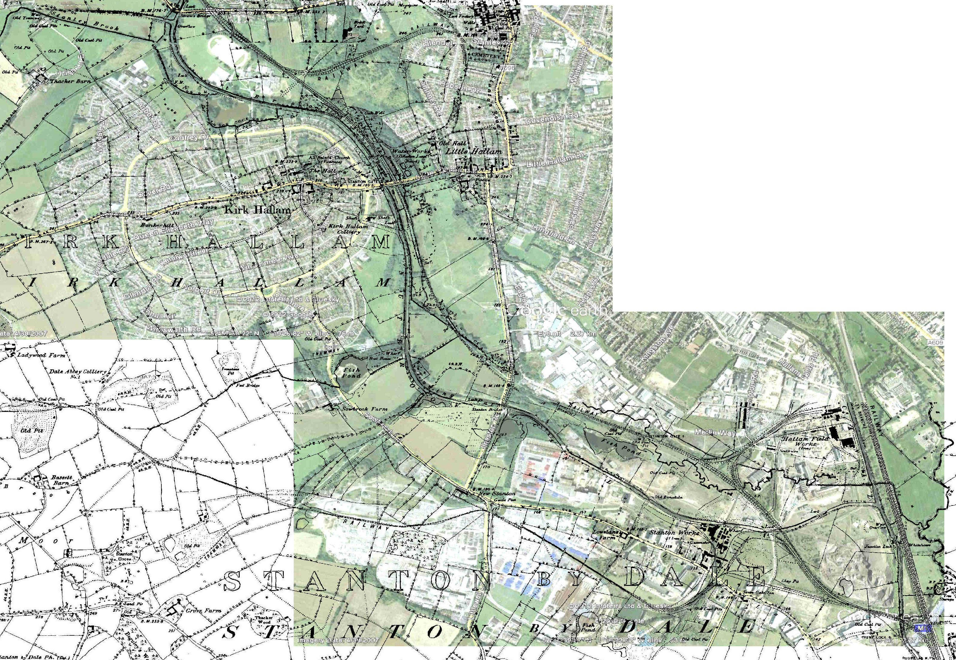
Waterway Walks & ExplorationsA rough, illustrated, guide to the former Nutbrook Canal and what it looks like today. By clicking the icon in the top left of the map window, you can select/deselect other options to view or click the icon top right to view full screen.
|
|
I have found a number of useful internet links with several historic
photographs. Follow the links below to find out more -
Each link should open in its own new tab.
For a historic map of the route, follow this link and then adjust the
transparency on the slider scale to view the present day appearance:
Wikipedia has a large entry with a concise history and many more links at https://en.wikipedia.org/wiki/Nutbrook_Canal In the bibliography, Peter Stevenson's book may be considered the definitive work. A nice contemporary route description may be found at https://canalroutes.net/Nutbrook-Canal.html An excellent description, including links and historic photos I have not seen elsewhere can be found here: https://captainahabswaterytales.blogspot.co.uk/2016/05/nutbrook-canal-introduction.html
|